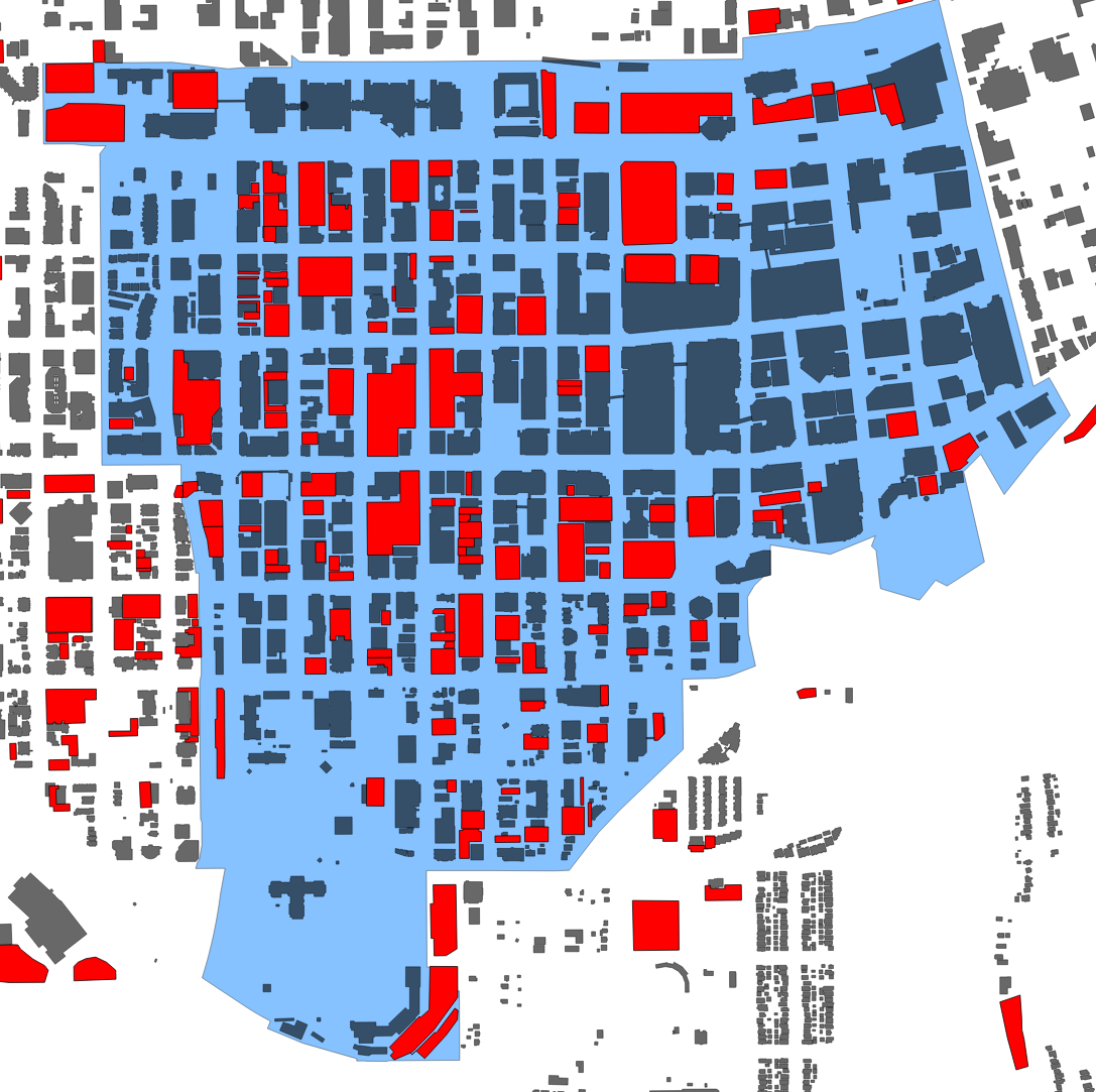
This is a great example of how you can use opendata, coupled with an interactive map platform and some FOSS GIS tools, to create a deeper understanding of landuse within a dowtown core. In this instance, I've created a map of Downtown Edmonton that includes building footprints, parking surfaces and trees. You can zoom into the map to take a closer look at the tree density, and by zooming out it's possible to see the amount of land dedicated to parking.
To take this map further, it would be pretty easy (though potentially very time consuming) to calculate the land area for each land use tyope, including surface lots. It is even possible to calculate an approximate surface area for the roadways, and thus calculate the percent of landuse dedicated to cars.
The data I used in this instance is from Open Street Map's Metro Extracts for the building outlines (although the City of Edmonton has just released an updated and better roofline dataset). The surface lots I hand drew in QGIS, and the tree data are from data.edmonton.ca.